


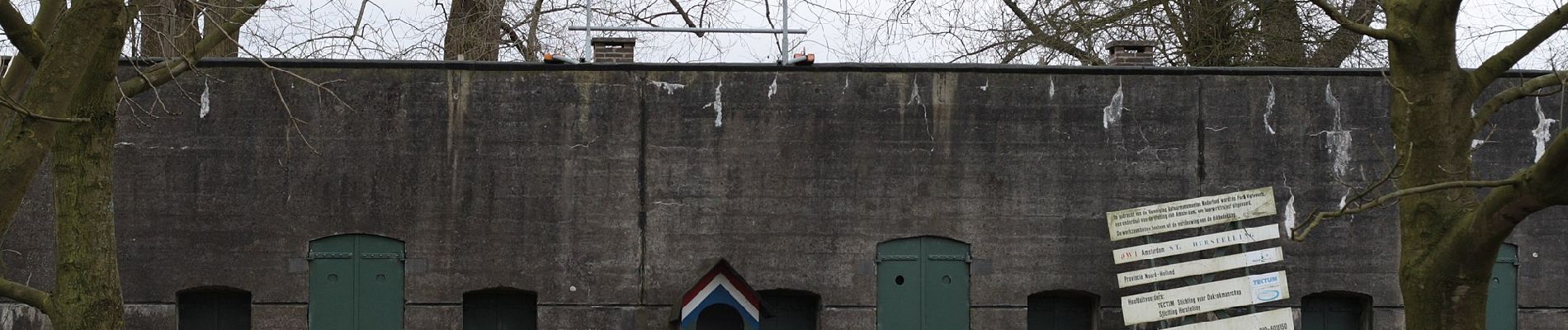
NS-wandeling Gein en Vecht

SityTrail - itinéraires balisés pédestres
Tous les sentiers balisés d’Europe GUIDE+
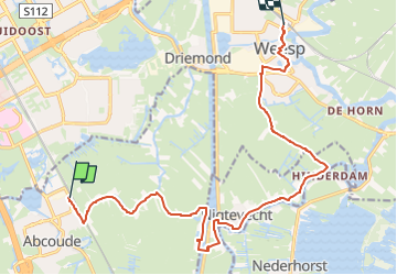


3h23
Difficulty : Easy

FREE GPS app for hiking
 SityTrail
IGN / Geographical institutes
SityTrail Plus
The world is yours!
About
Trail On foot of 14.4 km to be discovered at Utrecht, Unknown, De Ronde Venen. This trail is proposed by SityTrail - itinéraires balisés pédestres.
Description
Een mooie wandelroute waarbij twee idyllische rivieren in één route gecombineerd worden.
Website: https://www.ns.nl/dagje-uit/wandelen/gein-en-vecht.html
Photos


Positioning
Comments